Bukit Timah is a hilly area roughly in the middle of Singapore island. It doesn't look that tall, but the transmission tower is on the highest point in Singapore.

Bukit Timah has an area of 1,732 hectares. The nature reserve is 163 hectares of that. It is an integral part of the Central Catchment area, with a total area of 3,043 hectares. Bukit Timah is in the bottom left corner of this map. The MacRitchie resesrvoir and hence Tree Top Walk (see my post) is in the bottom right corner.

Because of its location and hilly nature, Bukit Timah is prime real estate, and commands the highest prices on the island.


The signs about monkeys are finally not just a joke.


See? Monkey!

Bukit Timah etimology. Bukit=hill in Malay, that is easy. Timah, however, can mean two things. Either tin (timah=tin in Malay) or a corruption of Temak (temak=temak tree). Argument for temak: it is the name of a tree that grows in abundance in the area. Argument against timah: there are plenty of quarries (for granite) but there is no tin in the hill.

The nature reserve is not large, only 163 ha, which makes it 0.2% of Singapore's area. But it is rich in biodiversity. It boasts 40% of the island's flora and fauna, and has more than 840 flowering plants (e.g. important trees, such as warangin, merombong, keranji) and over 500 species of animals (e.g. butterflies, forest praying mantis, pangolin, flying squirrel, and colungo). Originally the area was tiger infested :)
This is the visitor center, with some nice maquettes, and other exhibits.


The southwest section of the catchment area, Bukit Timah is where it says Hindhede Quarry.

Upper Pierce Reservoir.

MacRitchie Reservoir.

Juvenile and mature leaves can have very different shapes.


Forest products.

While most of the island has been cleared (logged), Bukit Timah has survived since the time of Sir Raffles, relatively undisturbed. As such, therefore, it is a primary lowland dipterocarp (name comes from their two-winged fruits) forest.
Waringin - develops a network of roots that clasp around the host trunk. Not the roots, but the crown of the tree "strangles" the host, deprives it of sunlight.


Merombong - its trunk looks like a lattice: it is slotted and pocked with oblong holes.

Keranji - has plank-like buttresses at its base, heavy, hard and durable wood, and edible fruit. It lends its name to an area of Singapore (Kranji, like in the Kranji War Cemetery).


This link here, gives you more detailed info about the flora and fauna, with pictures (esp. of the fauna).
Bukit Timah is also a site for heavy fighting during World War II. I found some nice maps of what was happening in the area at the visitors' center.
Malaya (with Singapore at the bottom (south) of the peninsula)


1: Sarimbun Beach Landing
2: Kranji Beach Battle
3: Causeway
5: Bukit Batok Memorial
6: Battle of Bukit Timah
11: Sentosa Beach Massacre Site
13: Sook Ching Screening Centre
14: Fort Canning Command Centre
15: YMCA (Kempetai East Districht Branhc)
18: Seletar Airbase
19: Punggol Beach Massacre Site
20: Changi Beach Massacre Site
Bukit Timah was a strategically important point for both the Allied troops and the Japanese. On the night of 10th February 1942, the Japanese troops from the 5th and 18th Divisions, supported by armour, attacked troops of the 11th and 15th Indian Brigades, the 22nd Australian Brigade, the Special Reserave Batalion, Tomforce, Merrett's Force, the Argylls, Jind State Infantry and `X' Battalion. The Allied forces had re-grouped to defend the critical junctions at Choa Chu Kang, Jurong and Clementi Roads leading to Bukit Timah Road (northwest, west and southwest, respectively).
By dawn of 11th February 1942, the Japanese troops reported to their commander Leutanant-General Tomoyuki Yamashita that they had seized Bukit Timah. The road to the city was open.
Bukit Timah is also the highest point of Singapore with its 163.63 ms. I had to have a picture. It is a difficult trek (if you are wearing sandals) but short. It starts out with a climb, that is about 45 degrees steep!
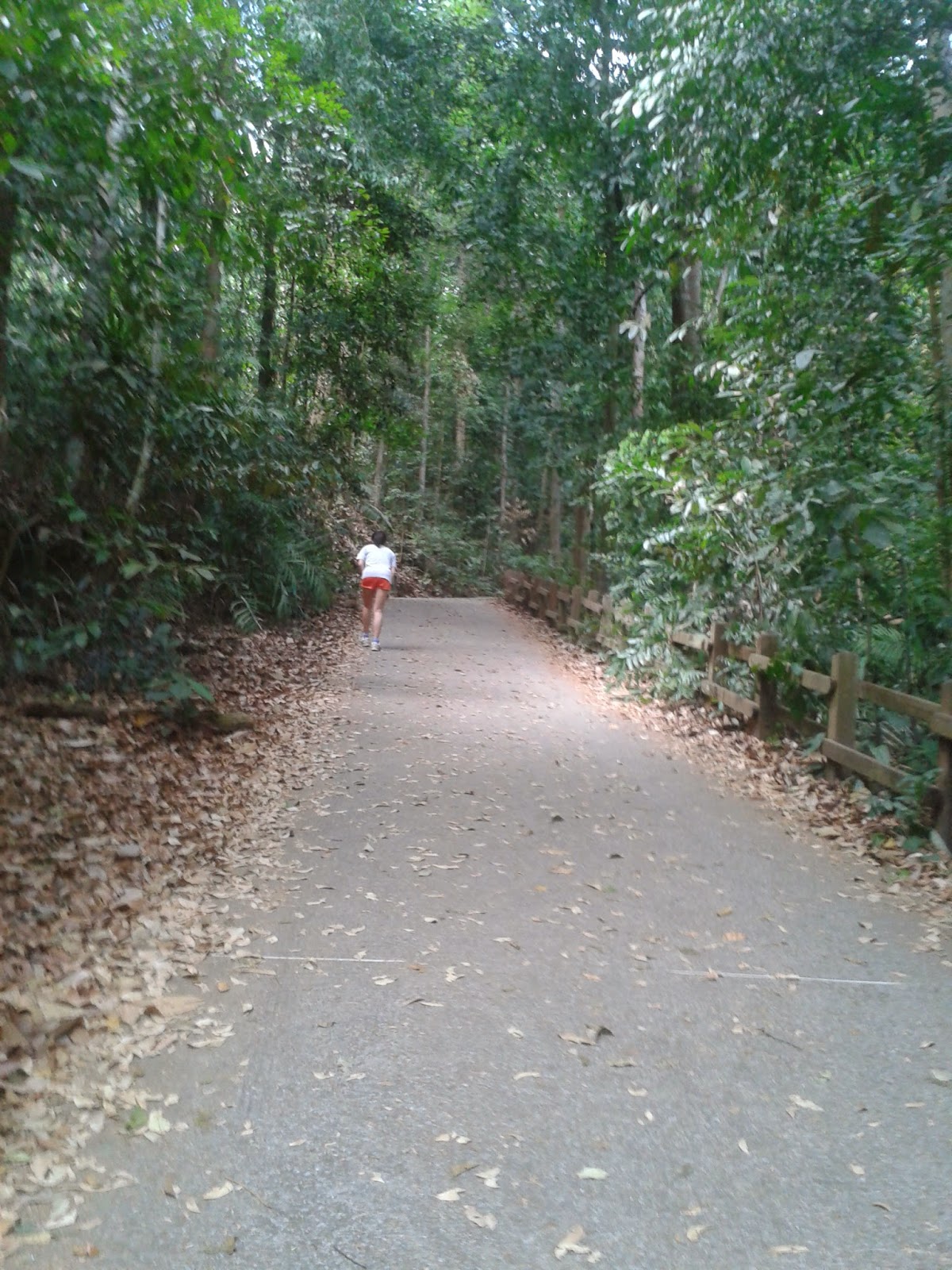


There are markers, because there are a number of routes. I was following the red one.


Finally:


I am really there!

And so are transmission towers...

...and various signs.


On the way down:


