Punggol to me is (was) one of the most exotic places in Singapore. It is far away from the center and also from where I live in the west :). It is on the north shore, and after Changi (which I intend to discover on my last day in Singapore) the easternmost part of the island.
This is the final stop of the North-East MRT line, and the area around it. Convincingly in the middle of noowhere, with construction/development everywhere.
This is also the stop where the light rail starts. It is a cute, one-wagon metro.
On my walk to the north shore, I found this temple: Fo Guang Shan. Very modern and with cute Buddhas.
This is not the cute Buddha...
...these are the cute Buddhas.
The light rail tracks.
Construction works.
My Waterway @ Punggol
Still further north. I had the feeling that I am going to the end of the world...
...although the bus also goes there :)
Jungle feel.

Long road to nowhere.
At the end of the world, are there supposed to be factories?
This is already not supporting my end-of-the world story:

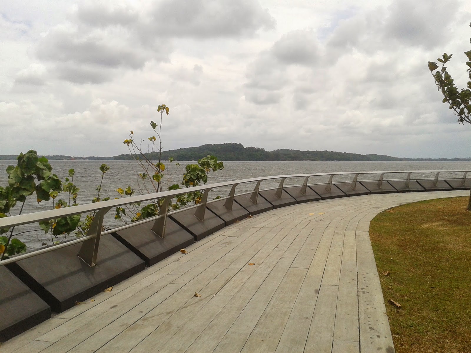
The Punggol Promenade.
Then I found this map, telling me that I could walk from where I was (You Are Here red sign on the top of the map) to Kampong Buang Kok and Serangoon, and probably much further on these dedicated walkways.

Ubin Island (belongs to Singapore)
Serangoon (or Coney) Island (also belongs to Singapore)
Viewing deck.
The World War II memorial to the (mostly) Chinese Singaporeans killed in the Japanese purge soon after occupation in 1942 on the beach here (so that the sea takes care of the bodies!).
And the explanation of the reason for the factory feel: to the north of Singapore is the Johor Strait. The Johor Strait is less than 2 kms wide. The other side of the strati is Malaysia, and this part of Malaysia is clearly not residential.
So I have waited for the bus and took it back to civilization from civilization at the end of the world.


